C--Sources Sought - Indefinite Delivery Contract for Architect and Engineering (A-E) Services for Remote Sensing, Surveying, and Mapping Services to support the Jacksonville District and USACE - W912EP-15-Z-0004 - Federal Business Opportunities: Opportunities
: Added: Dec 31, 2014 9:35 am
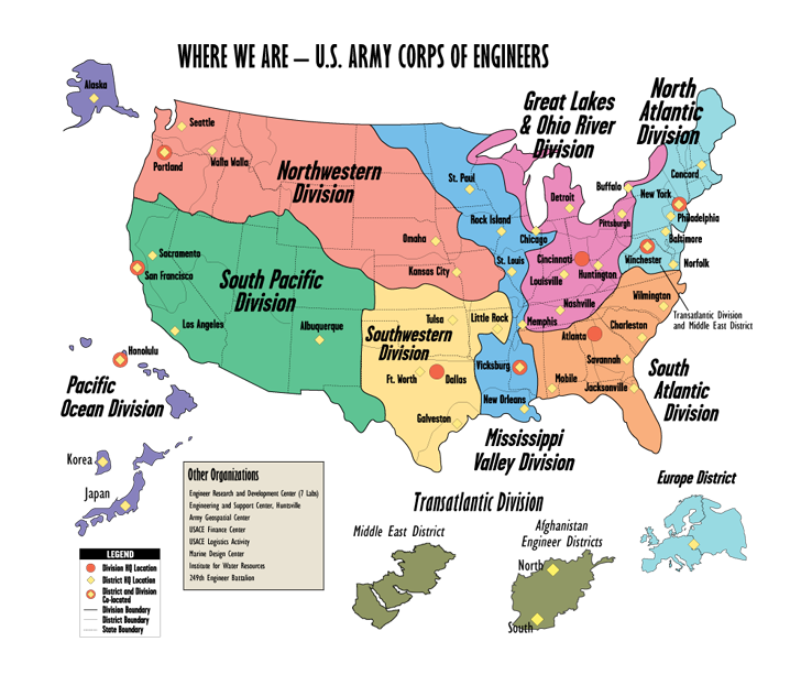 |
| USACE Divisions & Districts |
 |
| USACE Geospatial Platform |
remote sensing, CADD/GIS mapping services, and topographic, geodetic, property/boundary, and hydrographic surveying to support planning, engineering design, construction, operations, and maintenance of civil works projects. Some of the services are of the following types:
 |
| LIDAR |
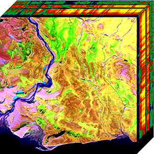 |
| Hyper-spectral Cube |
 |
| Side scan sonar |
- topographic and hydrographic LIDAR;
- collection of aerial imagery for large and small photogrammetric mapping utilizing digital aerial cameras;
- orthophoto generation;
- multi/hyper spectral imagery;
- land cover mapping,
- CADD/GIS;
- construction layout and alignment surveys;
- real estate boundary;
- tidal surveys;
- beach profiles;
- horizontal and vertical geodetic control surveys;
- ground penetrating radar and vacuum excavation for utility location;
- ground based laser scanning;
- near-shore and offshore hydrographic surveys;
- seabed classification;
- side scan sonar;
- sub-bottom profiling;
- acoustic Doppler current profiling;
- magnetometry.
The primary purpose of this proposed contract is to provide services for projects located within the geographic boundaries of the Jacksonville District area of responsibility. The Jacksonville District's area of responsibility includes Florida, the Commonwealth of Puerto Rico and the Antilles. Secondarily, the contract may be used to provide services outside of the geographic boundaries of the Jacksonville District. The contractor will have the right to refuse orders for services to be performed outside the geographic boundaries of the Jacksonville District. The anticipated contract will be an Indefinite-Delivery, Indefinite-Quantity contract for a period of one year from date of award, with options to extend for three additional years; not to exceed a total of four years. Maximum order limit is anticipated to be $4,500,000 for the life of the contract, including options.
Jacksonville District – Unmanned Aerial Vehicle (UAV)
The NOVA Unmanned Aerial Vehicle, also known as the NOVA UAV, offers the Corps a low-cost method of obtaining pictures from the air for a variety of applications. The NOVA weighs 11 pounds, which includes its payload of a high-resolution camera, its on-board computer, and a GPS system. A pilot controls the takeoff and landing process. When the plane is in the air, it is guided by computer.
No comments:
Post a Comment